Know more about Rokkakugawa and Matsuuragawa rivers !

Rokkakugawa river

The Rokkakugawa river, with the maximum 6m ups and downs of tide and soft ground.
 The Rokkakugawa river meanders in the low-lying flood-prone Saga Plain.  We are working on disaster prevention and soft ground countermeasures towards safe and affluent river basin.

 The Rokkakugawa river flows from Mt.Jinroku, Takeo City, Saga Prefecture.
 The river meets Takeogawa river at about 26km upstream from the estuary and meets Ushizugawa river at about 5km upstream from the estuary and flows into the Ariake sea.
 The basin is located in the western part of Saga prefecture, comprised of the three towns and three cities. The basin is characterised with society, economy and culture in western part of Saga Prefecture.


  Map of Saga Prefecture 
  
   : Takeo Office of River ,  ~ : Branch Office

River source Mt. Jinroku,
Takeo City, Saga Prefecture
Elevation
of river
447m
Total basin
of river
341km2
Total length 57.2km
Municipality
of basin
Takeo, Taku, Ogi, Omachi, Kouhoku, Shiroishi
Total population of the basin 121 thousand
Census 2000

Matsuuragawa river

The Matsuuragawa river, with inherited history and culture,
and peaceful and environmentally-rich atmosphere.
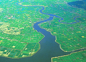
 The Matsuuragawa river provides rich natural environment.
 We are working on the development of nature-friendly river.


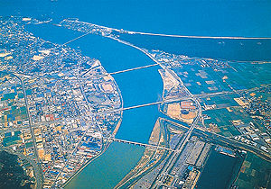
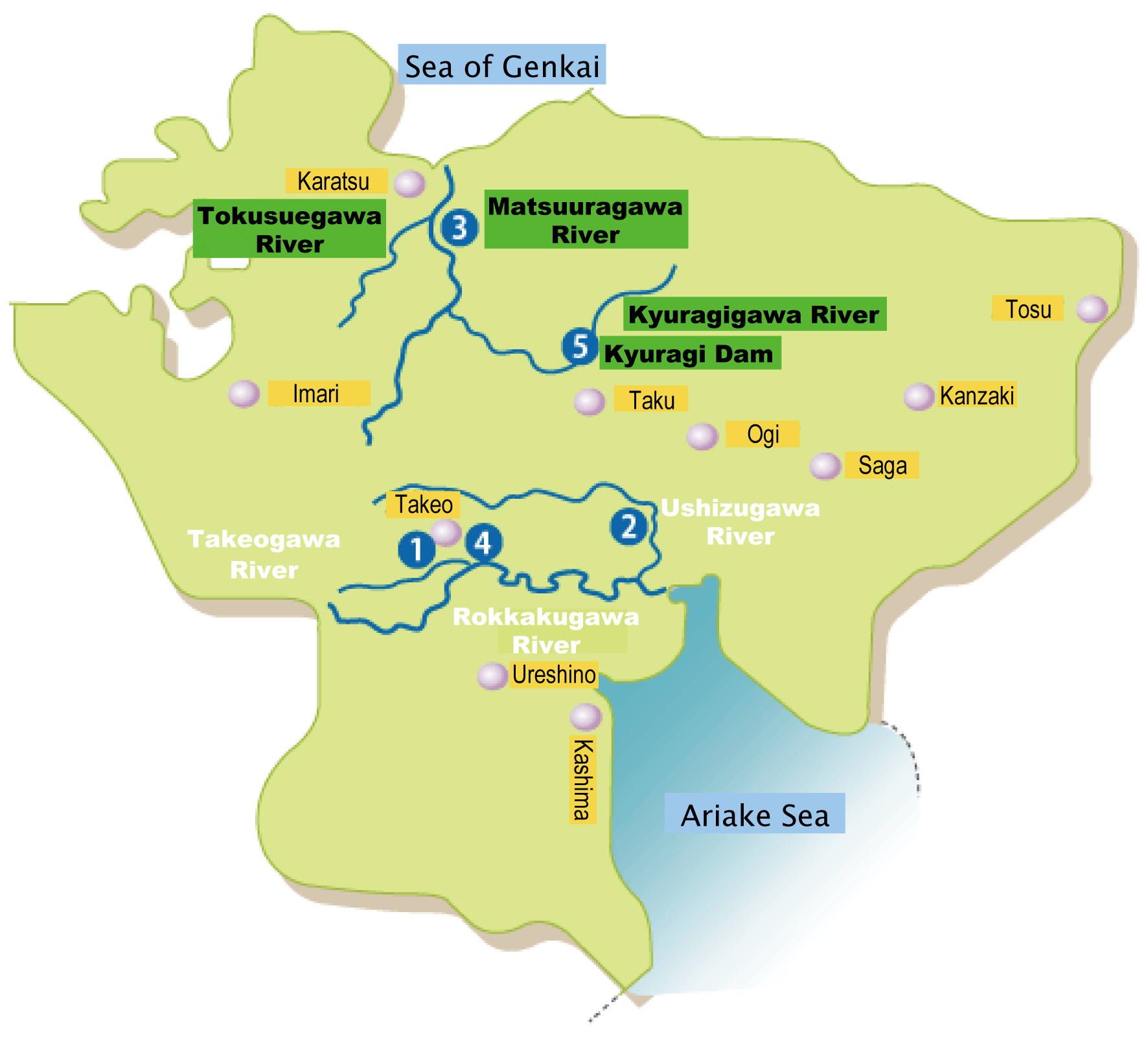
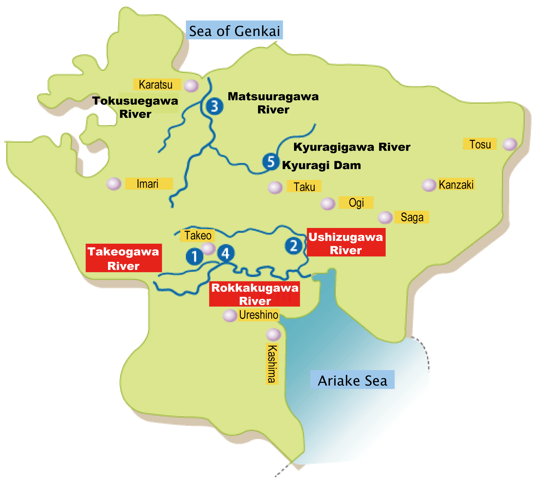
  The Matsuuragawa rive flows from Mt.Seirai, Takeo City, Saga Prefecture.
 The river flows to the north while meeting some tributaries. It meets Kyuragi river at about 13km upstream from the estuary, and meets the Tokusue river at about 6km upstream from the estuary. It flows through the urban center of Karatsu City, then flows into the Sea of Genkai.
  The basin is located in northwest of Saga Prefecture comprised of three cities. The basin  characterised is with society, economy and culture of northwest of Saga prefecture


Map of Saga Prefecture
    : Takeo Office of River ,  ~ : Branch Office  

River source Mt. Seirai,
Takeo City, Saga Prefecture
Elevation
of river
599m
Total basin
of river
446km2
Total length 63.3km
Municipality
of basin
Karatsu, Imari, Takeo
Total population of the basin 100 thousand
Census 2000


Please let us know how you feel this site and what you want to know from this site.

ページの先頭へ戻る

Copyright (C) 武雄河川事務所.All Rights Reserved.